Objective:
I would like to export/obtain the endpoint coordinates (X, Y, Z) from the Planned Drillholes.
Resolution:
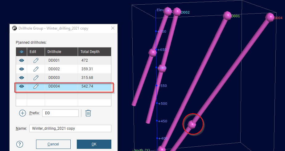
If you do not have too many planned drillholes, the easiest way would be to make a copy of your planned DH file: right-click on the planned DH of interest and select Copy.
Once the copy has been created, double-click on it and select the edit pen icon for the DH of interest.

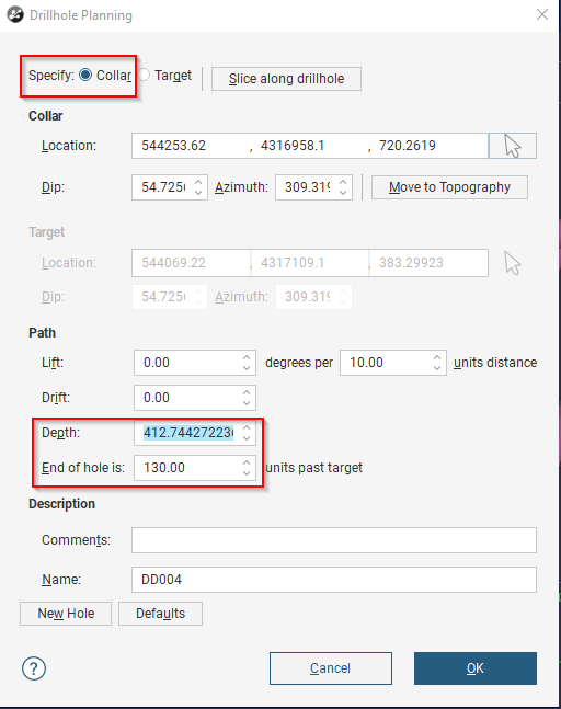
The drillhole planning window will open.
Make sure the Collar option, at the top of the window, so you can specify the depth and change it to the total depth of the planned DH (sum of the "Depth" and the "End of hole is" boxes).
Then, change the "End of hole is" field to 0. (In the example: the total would be 542.0).
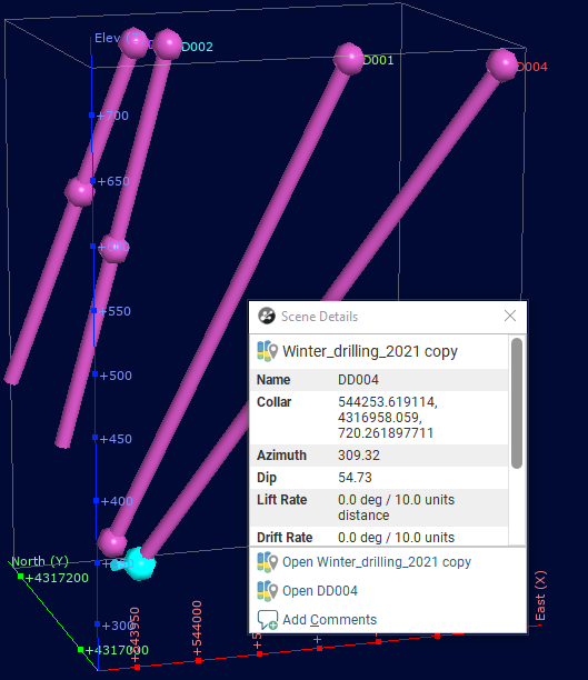
The target point will be brought to the endpoint of the DH.

You can click on this target point and get the X,Y,Z from the information window.

If you have a lot of Planned DHs, this will be a time-consuming process. The following workaround would be a better solution in this case:
After copying the planned DHs, you will evaluate your GM onto these planned DHs (righ-click on the planned DHs and select "Evaluations") and export the planned DHs using "export as intervals".
The following steps will consist in importing the exported planned holes as a second DH database (This can be done in Leapfrog 2021.1).
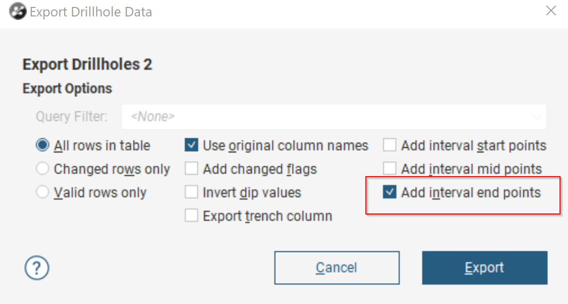
Finally, you can export the drillholes and select the tickbox for "Add interval end points".

This will give you to the XYZ coordinates for the ends of the holes in your interval .CSV export file .
